Vector layers
Vector layers contain individual geometries. They are useful for planning data, boundaries, search areas, routes, tracks and imported project information.
Practice
Build map profiles with offline maps, layers, raster overlays and map styles.
Terms
ArxSilex MapTools uses these terms deliberately. They make it clear whether a file is used as a base map, editable geometry, image overlay or elevation data source.
| Term | Short definition | Examples |
|---|---|---|
| Maps | Base maps used as the main working view. | OpenStreetMap, OpenAndroMaps, offline .map, MBTiles as a base map |
| Vector layers | Additional object, line or polygon data above the map. The content consists of points, lines or areas and can often be displayed or evaluated individually. | GPX, KML, GeoJSON, Shapes, KML polygons, GeoJSON areas, GPX tracks as overlays |
| Raster overlays | Georeferenced image or tile data above the map. They are placed as a finished image surface and are not interpreted as individual objects. | GeoTIFF, MBTiles, image maps, aerial imagery, scanned maps, georeferenced plans |
| Elevation data / terrain | Data sources for elevation values and terrain analysis. They are not a visible map in the narrow sense, but provide height information. | HGT, DEM GeoTIFF, ASC, DTED |
| Map style | Rendering rules for vector maps. The style defines colors, symbols, paths, POIs, contour lines and other map elements. | OpenAndroMaps render theme, Elevate Theme |
| POI data | Search and display data for places and points of interest. | OpenAndroMaps .poi, custom POI files |
Vector layers contain individual geometries. They are useful for planning data, boundaries, search areas, routes, tracks and imported project information.
Raster overlays are finished image surfaces above the map. They are useful for aerial imagery, historical maps, scans or special map views. Opacity is often adjusted so the base map remains visible below.
Maps, vector layers and raster overlays can be shown on the map. Elevation data is usually used by tools: point elevation, elevation profile, hillshade, contour lines and viewrange.
Display
Map selection is designed for quick field use: important sources, layers and profiles can be prepared and switched directly.
Online maps, offline maps, raster overlays, elevation sources and thematic map profiles can be organized clearly.
Markers, lines, routes, bearings, areas and viewsheds use color field, hue slider, RGB values, hex code, preview and favorites. Default styles for lines, points and areas can be adjusted centrally.
Workflow
Use these steps to combine maps, data and tools for the task.
Display
Colors for markers, lines, routes, bearings, areas and ViewRange can be selected with a color field, hue control, RGB values and Hex code. The dialog previews the current and the selected color. Favorites are intentionally simple: global object colors plus dedicated favorites for areas and ViewRange.
Maintenance
Service catalogues change. MapTools can read capabilities again, show differences and repair unambiguous references in a controlled way.
Capabilities can be read from the service or a local XML file. The XML contains the catalogue, not map imagery for offline use.
Added, removed and changed layers and affected map presets are shown before changes are applied.
Unambiguous references can be repaired. Presets whose content changed lose their old test state and must be tested again.
Public catalogues honour HTTP cache metadata. Private responses are not persisted; HTML returned by FeatureInfo is not rendered as active web content.


A successful request does not prove free use or caching rights. Licence, registration, quotas and attribution are determined by the service operator.
Online maps
MapTools manages custom HTTPS map sources as a basemap or overlay. The four protocols can look similar on the map but differ in setup, tiling, CRS and query capabilities.
XYZ
A URL template containing z, x and y retrieves finished tiles. The origin is at the top left; typical worldwide sources use Web Mercator.
OSGeo TMS
OSGeo TMS also uses fixed tiles but, in its common global profile, counts y from the bottom. MapTools handles this difference.
WMTS 1.0.0
GetCapabilities describes layers, styles, formats, CRS and TileMatrixSets. MapTools selects compatible matrices and can manage multiple ordered layers.
WMS 1.1.1 / 1.3.0
WMS creates an image for an extent, size and CRS. MapTools supports 1.1.1 and 1.3.0, layers, styles, dimensions and GetFeatureInfo for queryable layers.
A URL or standard says nothing about price, registration, quotas, caching rights or licence. Always check the terms of the specific provider.
Guide
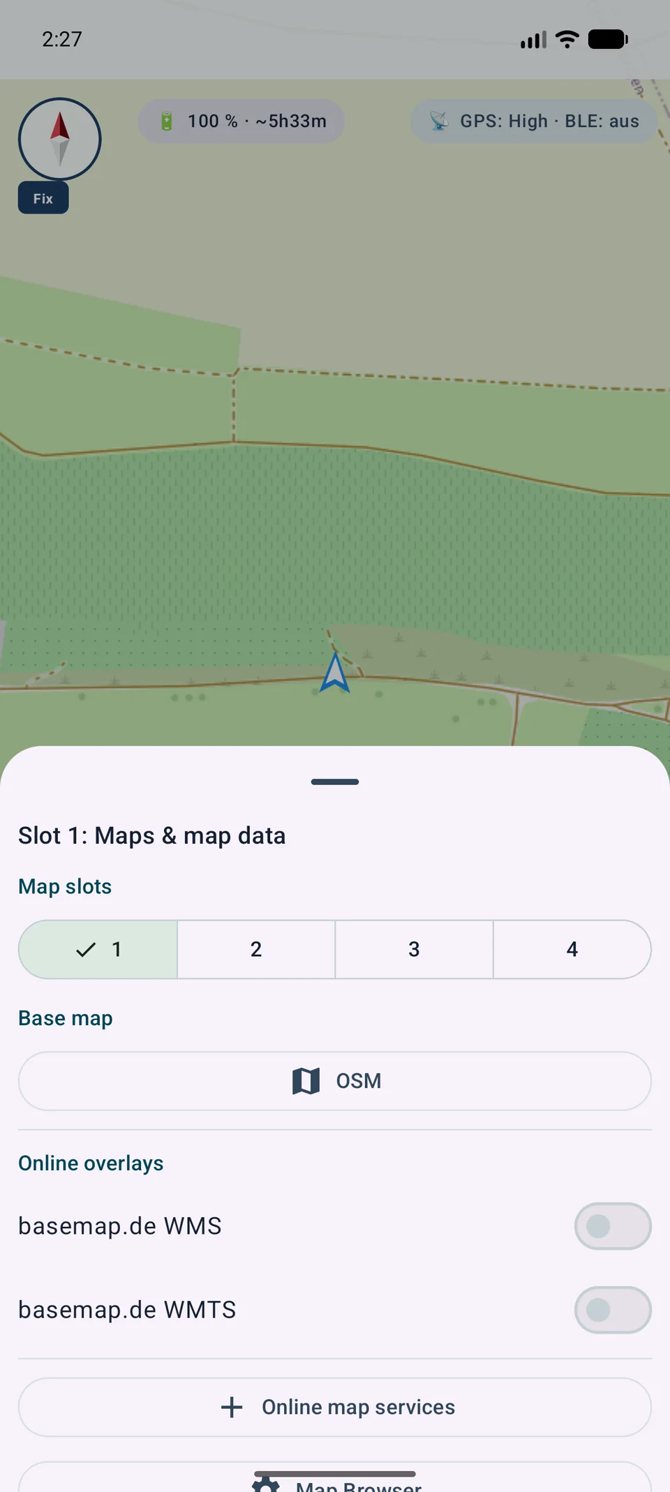
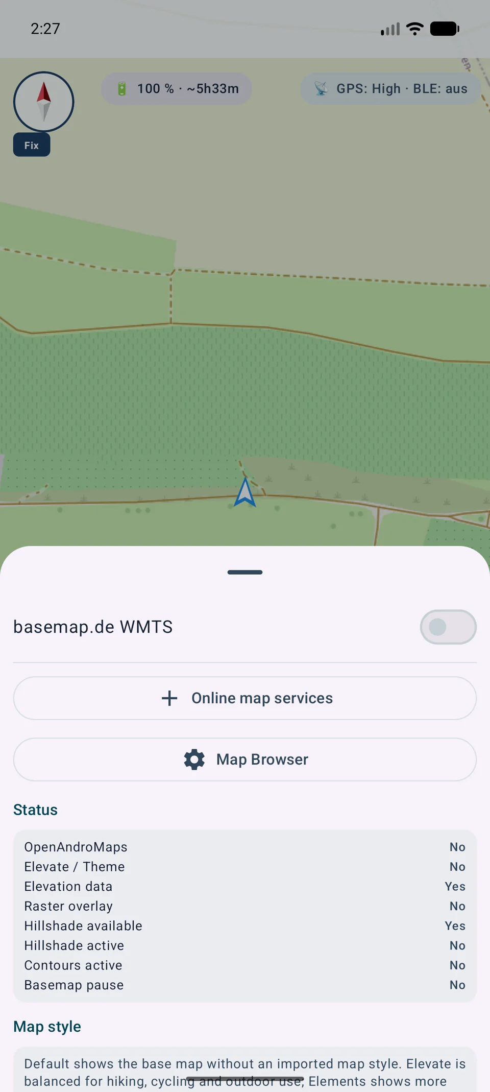
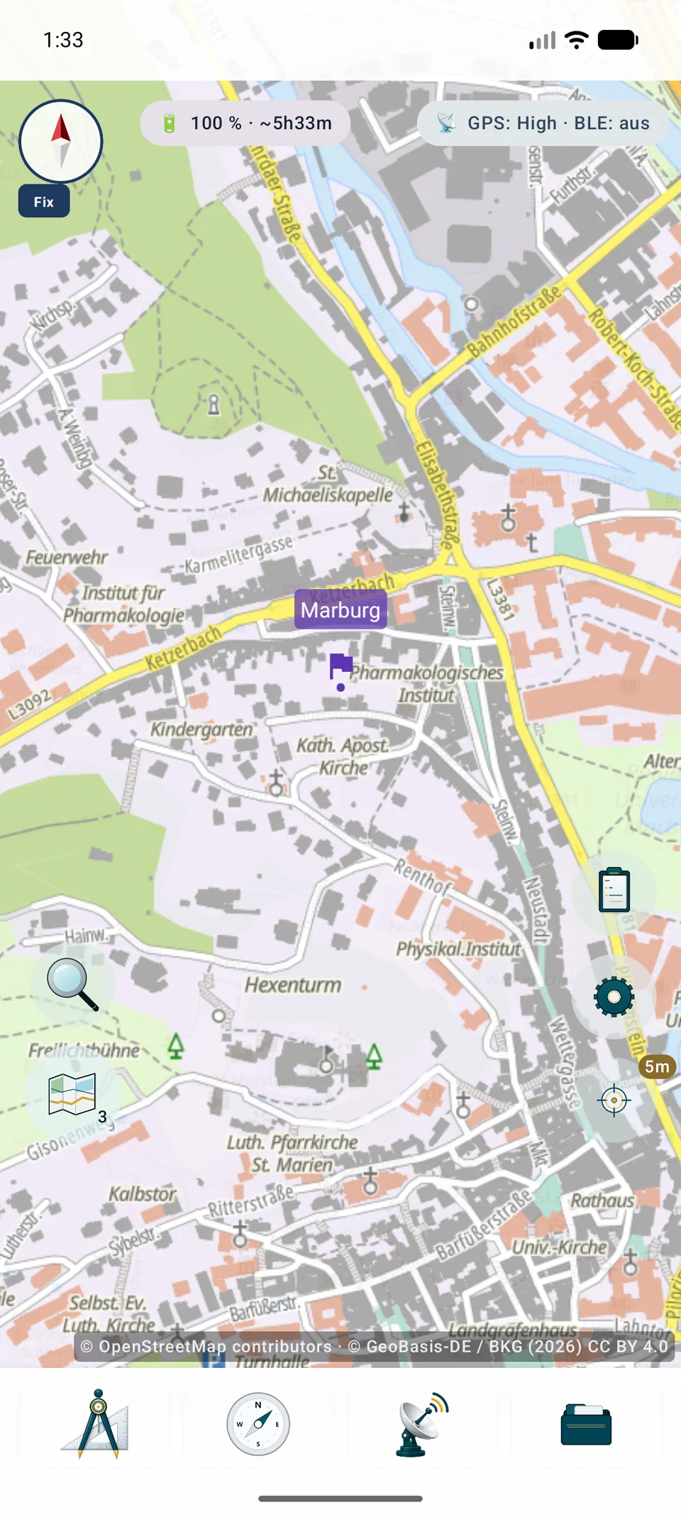
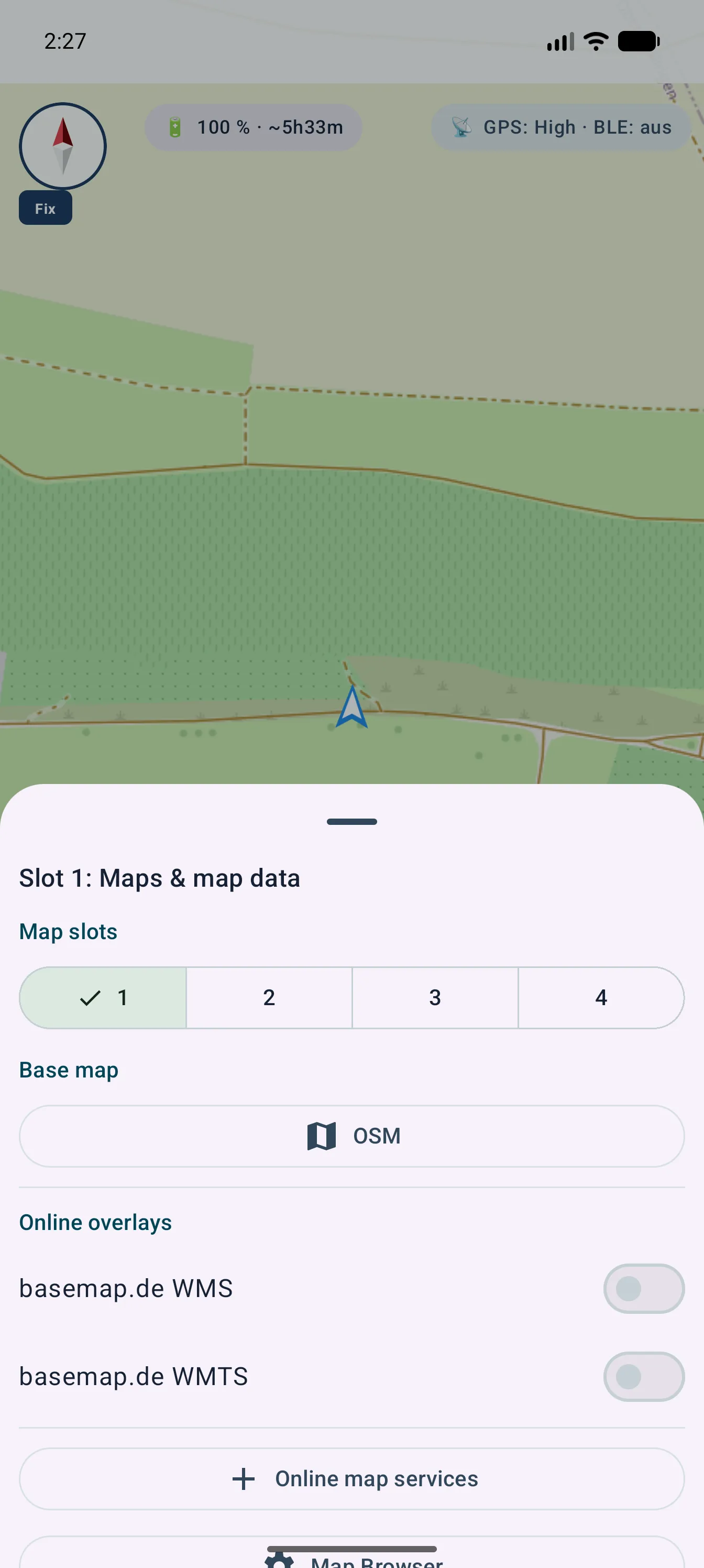
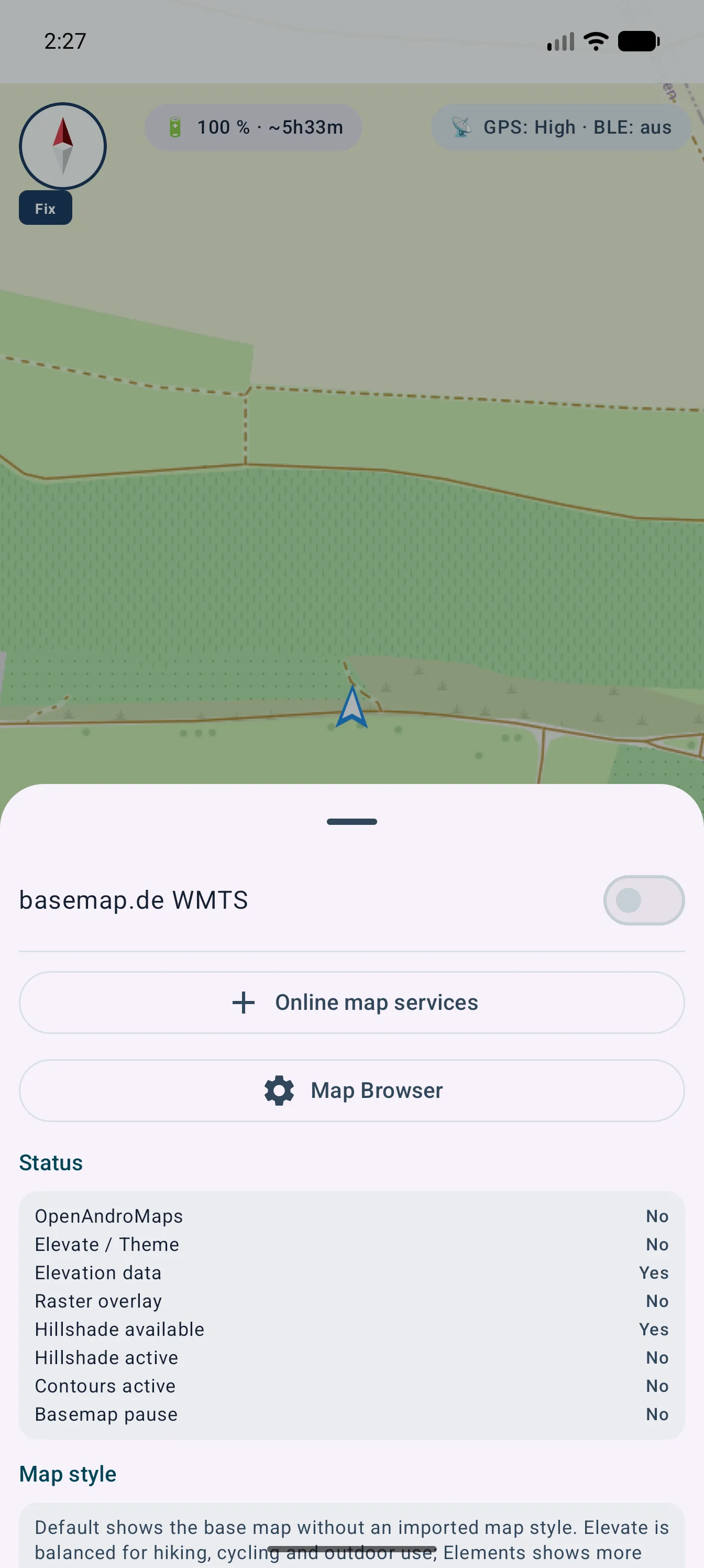
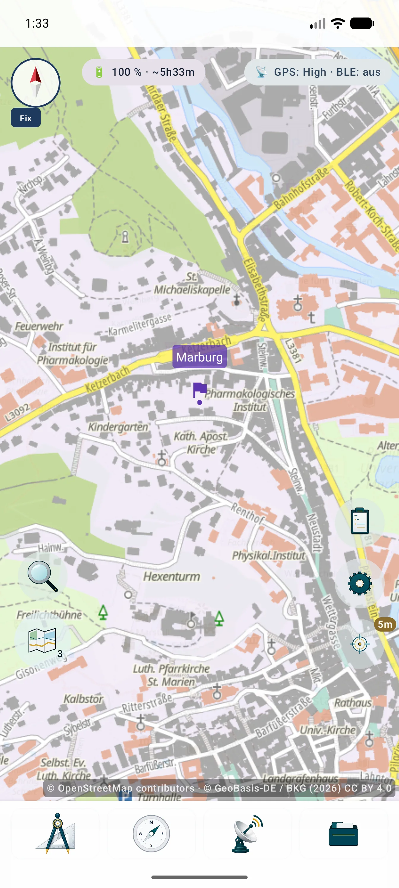
The images show entry through a map slot, central map management and the result with visible source attribution.


Rendering and security
Setup stores more than a URL: it also keeps the technical and legal information needed for traceable map rendering.
Compatible WMS or WMTS layers can be selected together, saved in a fixed order and edited later. Basemap, overlay and opacity remain controllable per map slot.
Web Mercator is rendered directly. Other approved CRS are locally reprojected through the central engine; scale limits and layer bounds are respected.
GetFeatureInfo can return information for a tapped position on suitable queryable WMS layers. The service determines content and availability.
Passwords, API keys and tokens are stored encrypted and excluded from backups and .asmaps files. Mandatory attributions from active sources are combined.
External map services and data are not automatically included with MapTools. Costs, accounts, limits, availability, caching and usage rights are governed by the respective provider.
Technology glossary
A provider such as OpenStreetMap, a protocol such as WMS and a container such as MBTiles describe different layers of the map stack.
Further definitions are available from the responsible standards bodies and projects.
Detailed guides
XYZ/TMS is an online tile source, not a file import. Use the protocol and template documented by the provider.
Long-press a map slot, add XYZ/TMS, enter an HTTPS template with {z}/{x}/{y} or documented {quadkey}/{s}, set zoom limits, test and save.
Keep authentication separate, show required attribution and check account, cost, quota, licence, caching rules and privacy before use. TMS uses a different Y-axis convention from XYZ.