
Local HTTPS services without internet access
Configure local HTTPS access, manage your own certificates and understand what remains blocked in offline mode.
Use shared WFS and OGC API views by file, HTTPS link or QR link, without a built-in worldwide service list.
A service supplies data over a network. A layer is one dataset within it. A view defines filters, area and styling. A .mtfeature.json file shares that configuration; it contains no downloaded features. GeoJSON contains geometry and attributes and is imported as a data file.
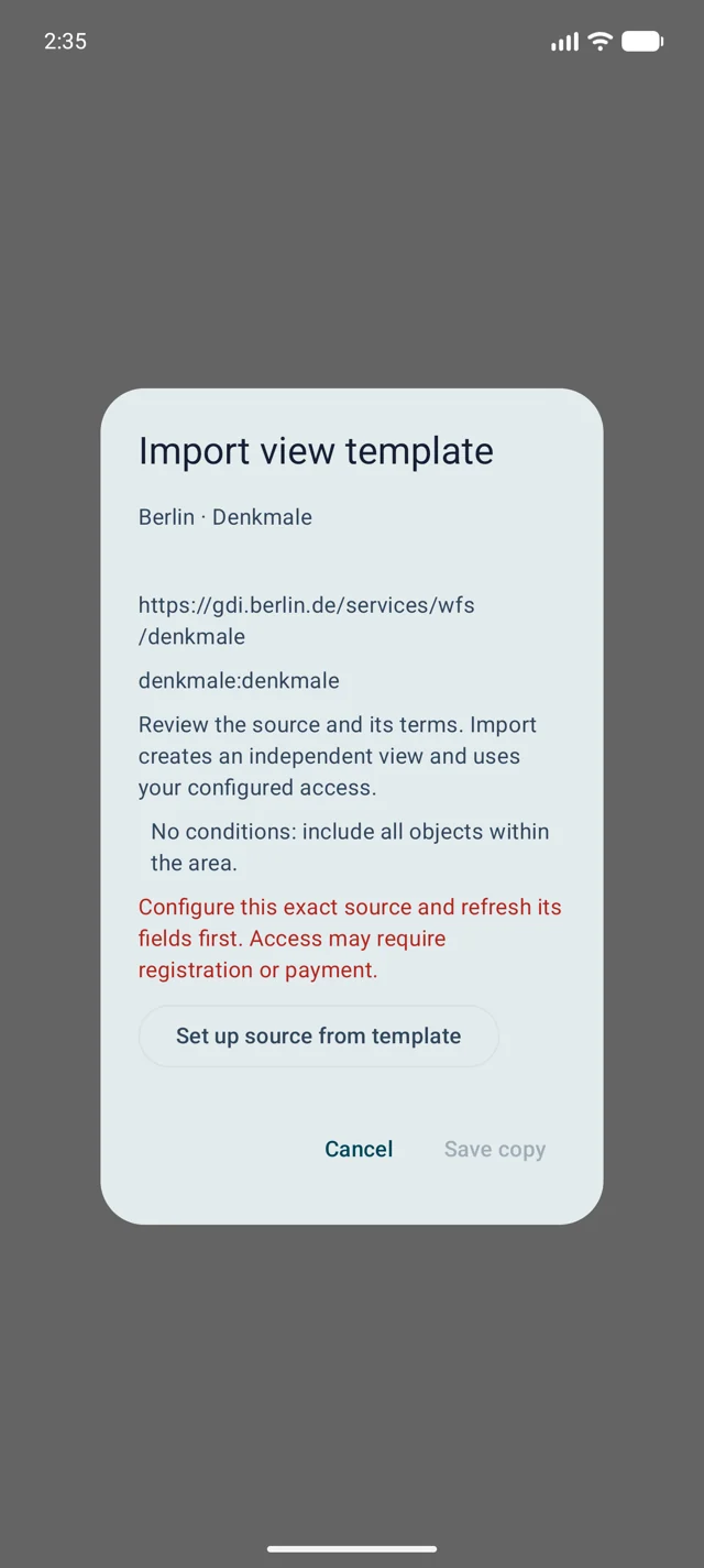
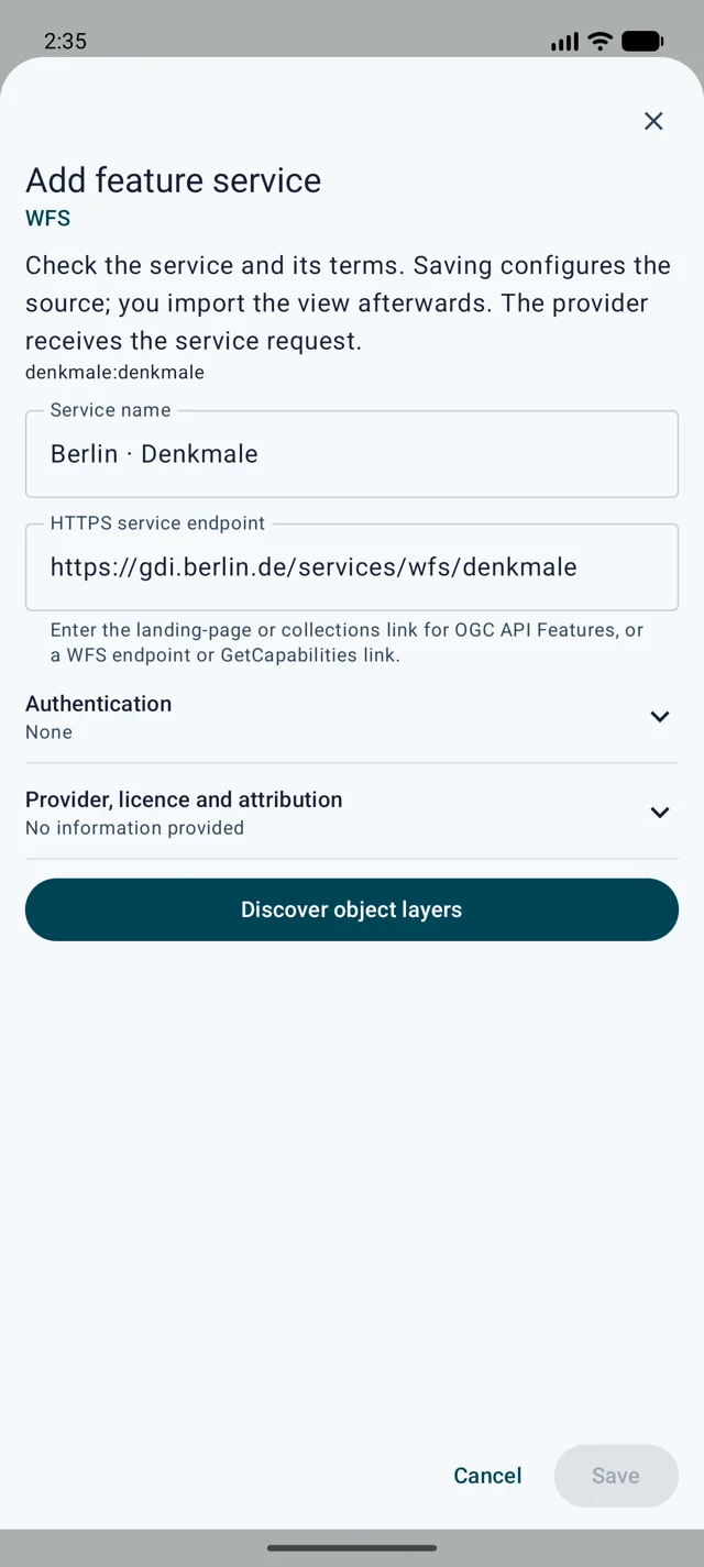
Check the preview in a small relevant map area. Save the view and enable it in the map slot. With the Map viewport area option, moving the map triggers another request; a fixed area remains fixed.
Tap displayed features for available attributes. For incomplete results, tap the status message for the reason and counts. Zoom in or narrow the query; zero matches in a sample do not prove complete absence.
HTTPS is required, including for private local servers. Private network addresses are allowed. For your own CA or server certificate, configure explicit trust for the server host and port in the certificate settings. Hostname and validity checks remain active; HTTP is not supported.
Hessen selects boundary stones with code 1110 and official position AU. Berlin selects street trees with trunk circumference at least 315 cm, approximately 100 cm diameter; circumference is not diameter.
https://www.arxsilex.de/app/maptools/downloads/feature-templates/hessen-boundary-stones.mtfeature.jsonhttps://www.arxsilex.de/app/maptools/downloads/feature-templates/berlin-large-street-trees.mtfeature.jsonhttps://www.arxsilex.de/app/maptools/downloads/feature-templates/berlin-monuments.mtfeature.jsonChoose a small map area in the relevant region. Results may be limited; tap the map status for the reason and counts. These data do not confirm a stone in the field or provide an RTK measurement.
Export a configured view in the app. The file contains the service address, layer identifier, required fields, filters and styling, plus any code-catalogue references. Credentials are not shared. Still check names, descriptions and any deliberately exported area for private information. Use the app export as the format reference; do not replace technical identifiers with translated display names.
Configure your own view and export it as a template. Leave area sharing off unless intended. Publish only public endpoints and your own conditions, without credentials or private locations.
Each import creates an independent copy. Website changes do not update saved views; reimport deliberately and remove old copies if desired. Providers may require registration, payment or a licence. Downloads contain our configurations, not the datasets or third-party code catalogues; check the original provider terms.
{
  "format": "maptools-feature-template",
  "version": 1,
  "name": "Berlin · denkmale:denkmale",
  "endpoint": "https://gdi.berlin.de/services/wfs/denkmale",
  "protocol": "WFS",
  "collection": "denkmale:denkmale",
  "namespace": "denkmale",
  "requestCrs": "urn:ogc:def:crs:EPSG::4326",
  "requiredFields": {},
  "area": { "type": "viewport" },
  "positionMode": "SOURCE_GEOMETRY"
}
Configure local HTTPS access, manage your own certificates and understand what remains blocked in offline mode.