Tools in the field
The track documents the route, not the professional decision
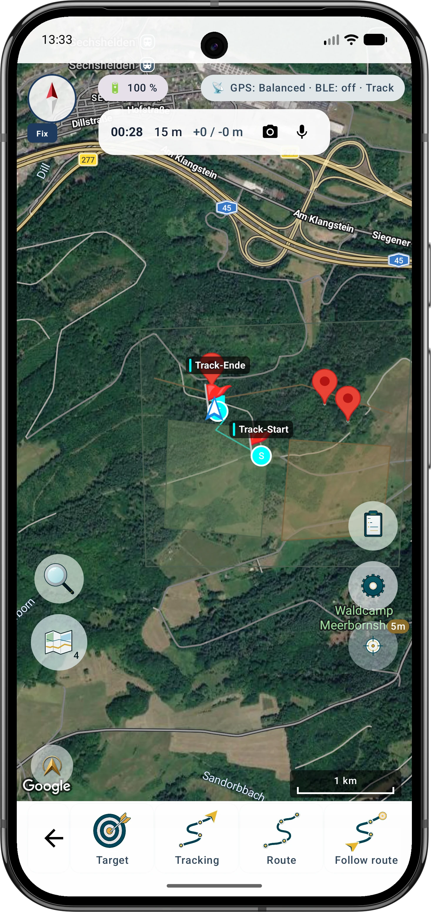
A recorded route can make the start, search path, pauses and available GPS quality data traceable. It does not interpret field signs or an animal's condition and cannot decide waiting time, search strategy or the use of a qualified tracking team. While MapTools is visible, an object alarm can report entering or leaving a territory boundary stored as an area; optional background monitoring supports explicitly enabled markers and circles only.
- Start the track only when the actual search starts and control pauses and completion deliberately
- Save important locations as separate markers or notes instead of inferring them only from the track line
- Afterwards review route, time, distance and GPS quality and share only the required format
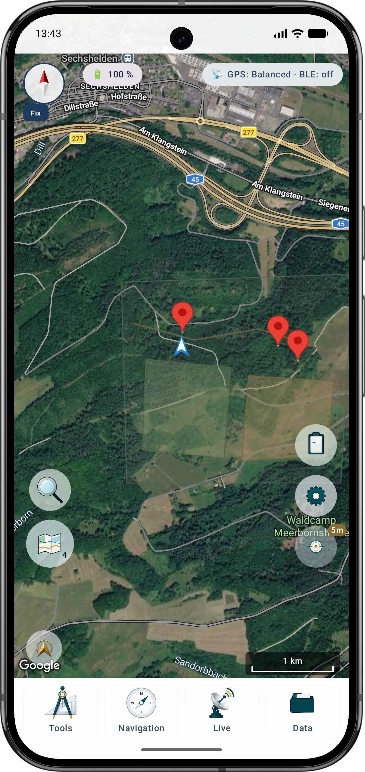
- Enable the territory-area alarm deliberately and observe the foreground and background monitoring limits