
Maps, Vector Layers & Raster Overlays
- Online and offline maps
- Mapsforge, MBTiles and GeoPackage
- Raster overlays from GeoTIFF, MBTiles, KML or KMZ
- Vector layer, raster overlay and map preset visibility
ArxSilex MapTools
POI, areas, search grids, coverage, point details and Pro post/fence estimates for systematic map work.
Relevant Features
This page highlights the features that are truly relevant for this use case.
New Precision Features
The current tools support more guided measurement and correction workflows so existing objects do not need to be recreated.
The app guides the selection of suitable bearings, circles or measurement objects, calculates intersections and can save the result as a marker.
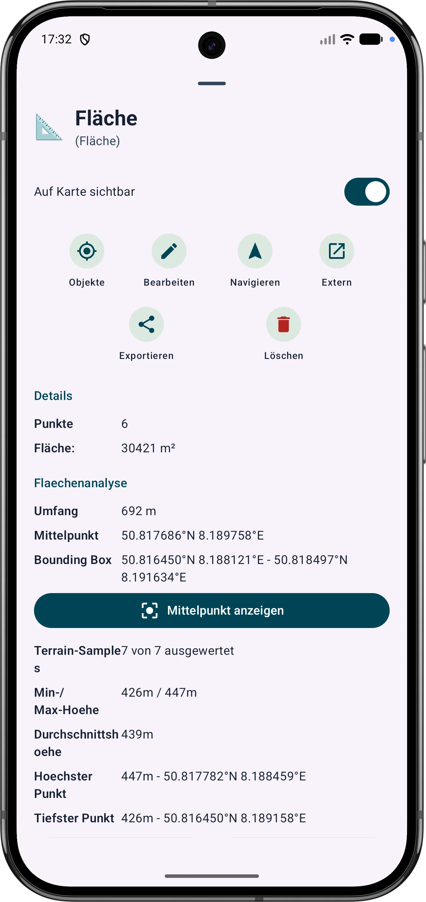
Polygon areas can be refined through their vertices. Side lengths, interior angles and distances help correct boundaries in the field.
Route points and segments can be adjusted later. Bearing, distances and direction angles remain visible and understandable on the map.


Posts & Fence
In Pro, ArxSilex MapTools can calculate a post and fence estimate for areas and circular areas. Open the details of an area or circle and tap Post / Fence.
Enter the desired post spacing and the number of strands. The default values are 5 m post spacing and 3 strands.
The app estimates fence length, number of posts and required strand length. For areas, each edge also shows how many intermediate posts are needed and which actual spacing results.
The calculation is an estimate. Actual post count and strand length can vary depending on terrain, fence route and construction method. Reserves are not included.
The result can be saved or shared as a TXT file.
Markers
Both workflows end in the same marker dialog and save the same marker data model.
Best when the location is clearly visible and a quick placement is sufficient.
Best for small structures, known coordinates or controlled placement while zooming and rotating.
The active and favourite formats show the same centre. There is no hidden GPS snap or object hit selection.
The check mark only accepts the position. Name, category and other marker data are still confirmed in the existing dialog.
At the stable centre MapTools can show brief information from Mapsforge and from OGC, WFS, WMS or WMTS layers in the active slot. The preview is informational: it neither changes the source nor selects map objects.