Sun and Moon
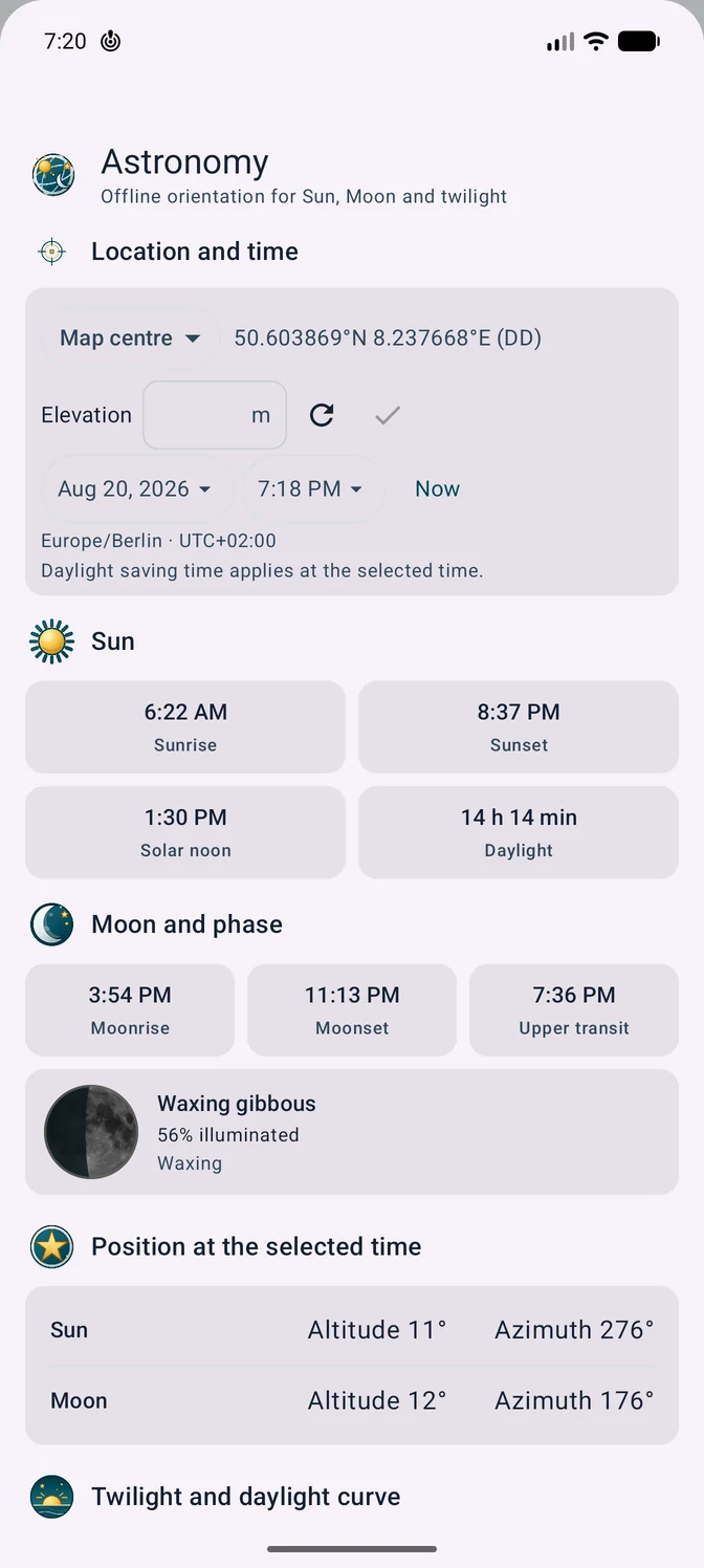
Shows rise, set, upper transit, altitude and azimuth. The Moon phase also appears graphically with its illuminated fraction and waxing or waning state. A real image of the Moon’s near side from NASA’s Clementine mission sits beneath the dynamically calculated light-and-shadow mask; rendering remains entirely offline.
Twilight and daylight
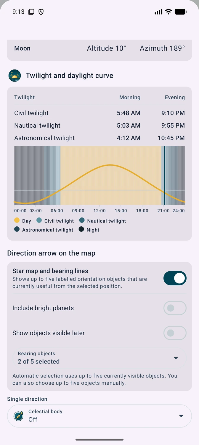
The table and local timeline always show daylight together with civil, nautical and astronomical twilight.
Planets and stars
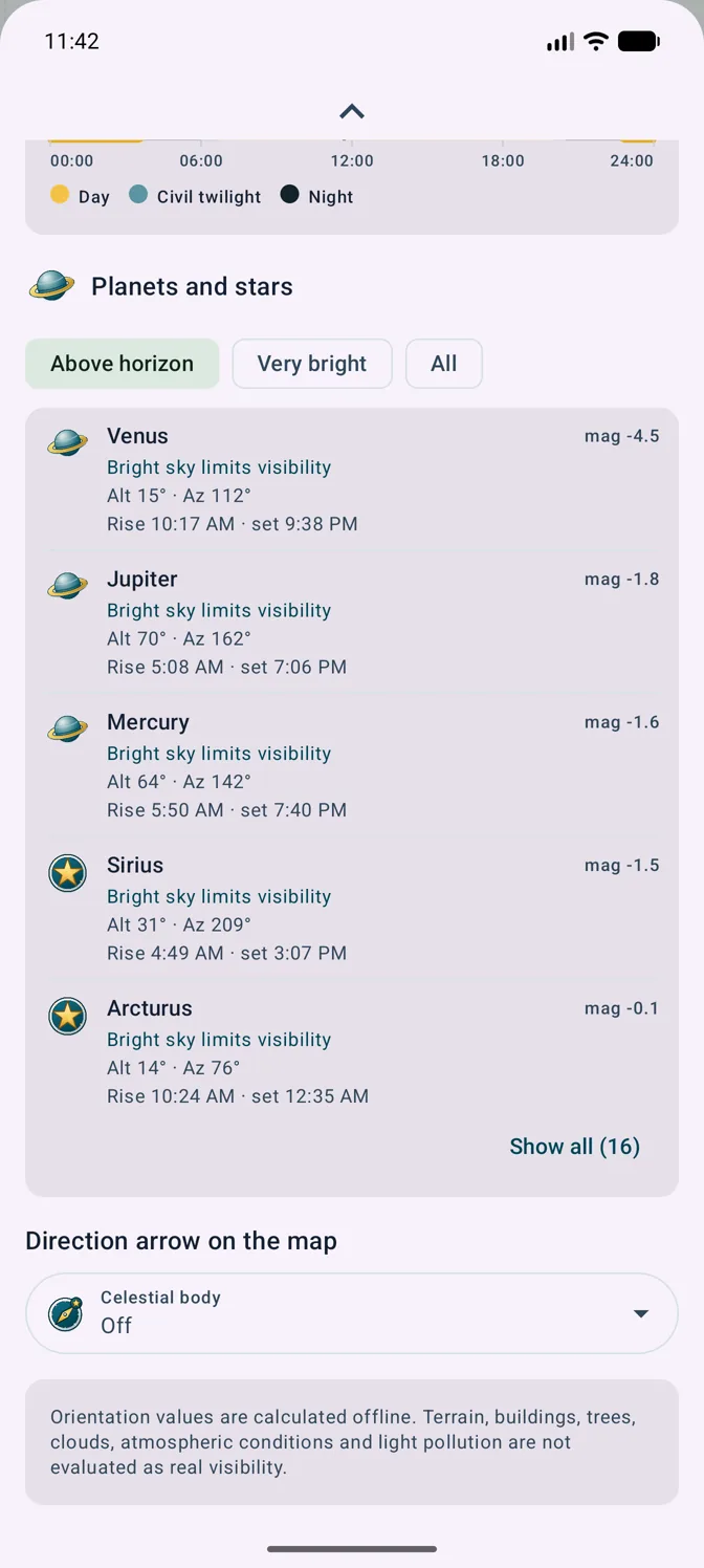
Five planets, 17 bright stars plus Cassiopeia, the Southern Cross and the Pleiades provide altitude, azimuth, events and visibility status.
Star map and bearing lines
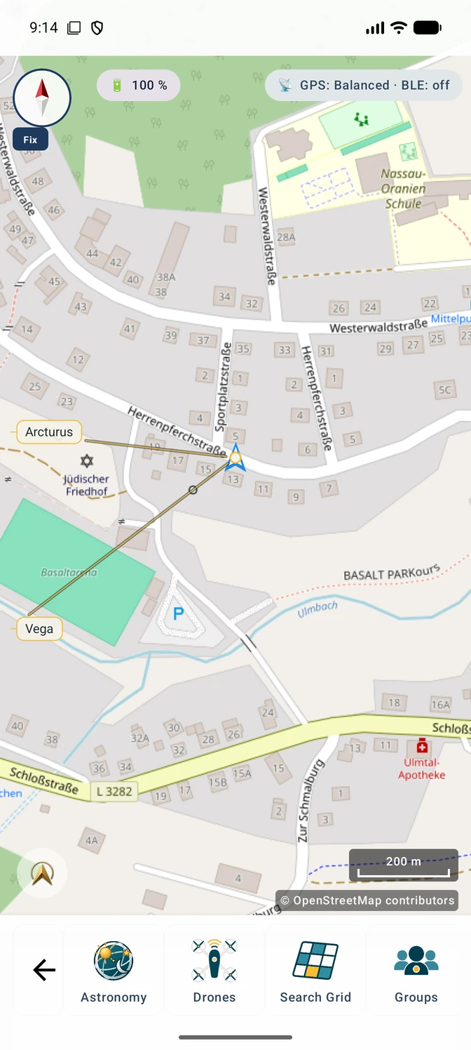
The Pro layer projects up to five labelled celestial objects with thin bearing lines from the selected position onto the map. Automatic selection considers only targets that are currently useful; alternatively, up to five objects can be selected together manually. Bright planets and objects visible later can be included optionally.
Terrain shadow and direct sunlight
The map layer combines the Sun position with active local elevation data. A date-and-time control moves the calculated mountain shadow across the visible map area; point analysis shows the terrain horizon, actual first sunlight, direct-sun intervals and the onset of shadow. This is time-dependent terrain shadow, not static hillshade. For small and medium views, MapTools prefers a 5 m calculation grid when elevation data and memory allow it. The viewport, a 500–20 000 m movement buffer and the terrain sector toward the Sun are cached together; for large views or limited memory, the app automatically switches to 10 m, 20 m or coarser and displays the grid in use. Panning or zooming recalculates the layer automatically. A refresh button can start another calculation, with progress shown as a percentage. Areas without elevation data remain unchanged. A size-limited local GeoTIFF cache reuses elevation blocks already read. Large views first receive a labelled coarse preview before the finer result. Loading, shadow calculation and a previous result still on display are distinguished. Coarse grids can miss narrow terrain features; transparent data gaps mean unknown, not sunlit. Astronomy distinguishes missing elevation data, data disabled in this slot, inaccessible files and partial coverage. Suitable imported sources can be activated directly for this slot; the user chooses when several match. A tappable map hint opens details and data management. Background maps do not automatically supply elevation data; there are no automatic downloads.