
Set up and control the 3D view
Elevation data and map imagery are separate sources. Both must cover the area you want to explore to show terrain shape and aerial imagery together.
- Import and enable suitable elevation data in the map browser. Import georeferenced aerial imagery or select a supported map in the current map slot.
- Open the 3D view at a covered location. In the overview, use two fingers to zoom, rotate and tilt.
- Choose Explore freely. View lets you look around; Move makes the joystick move the virtual viewpoint in the current viewing direction. Adjust camera height under Height and view. Return to map closes the 3D view.
Choose image quality
The map browser offers 2K, 4K, 8K and Max / Original for GeoTIFF imagery, including imported image collections. Max / Original uses available source detail while the view loads suitable image sections. It cannot add detail to a coarse source.
Sky, Sun and Moon
Enable Sun and Moon in the sky to show the sky at the virtual camera position. It uses the selected shadow time or the current time.
The view requires Vulkan 1.1 and a suitable graphics driver. Google maps are not transferred to this 3D view. Missing imagery may produce a neutral surface; movement is limited outside elevation coverage. Data is not included; access, fees and licences depend on the provider. A virtual view does not replace an on-site assessment.
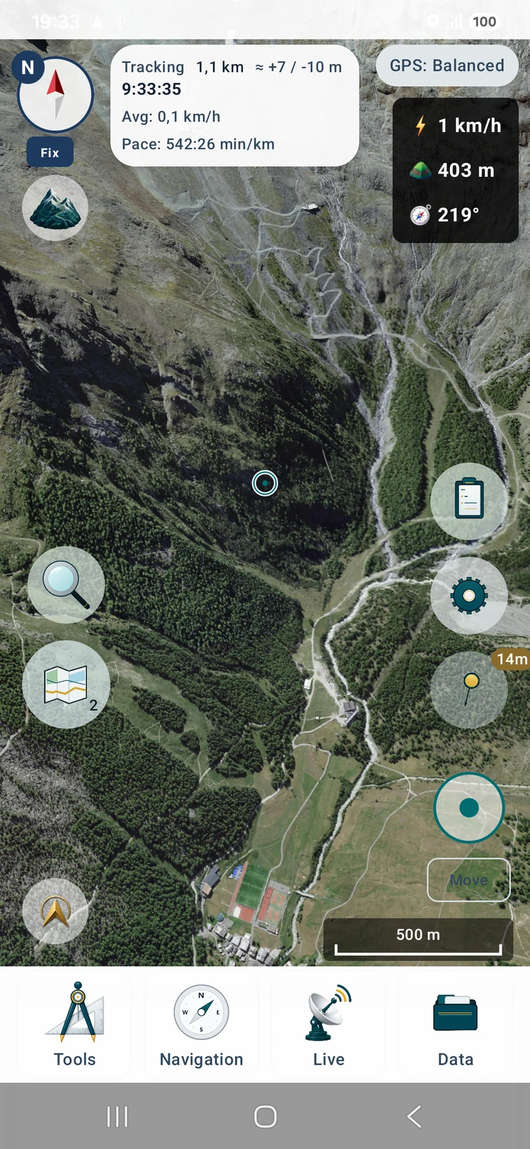
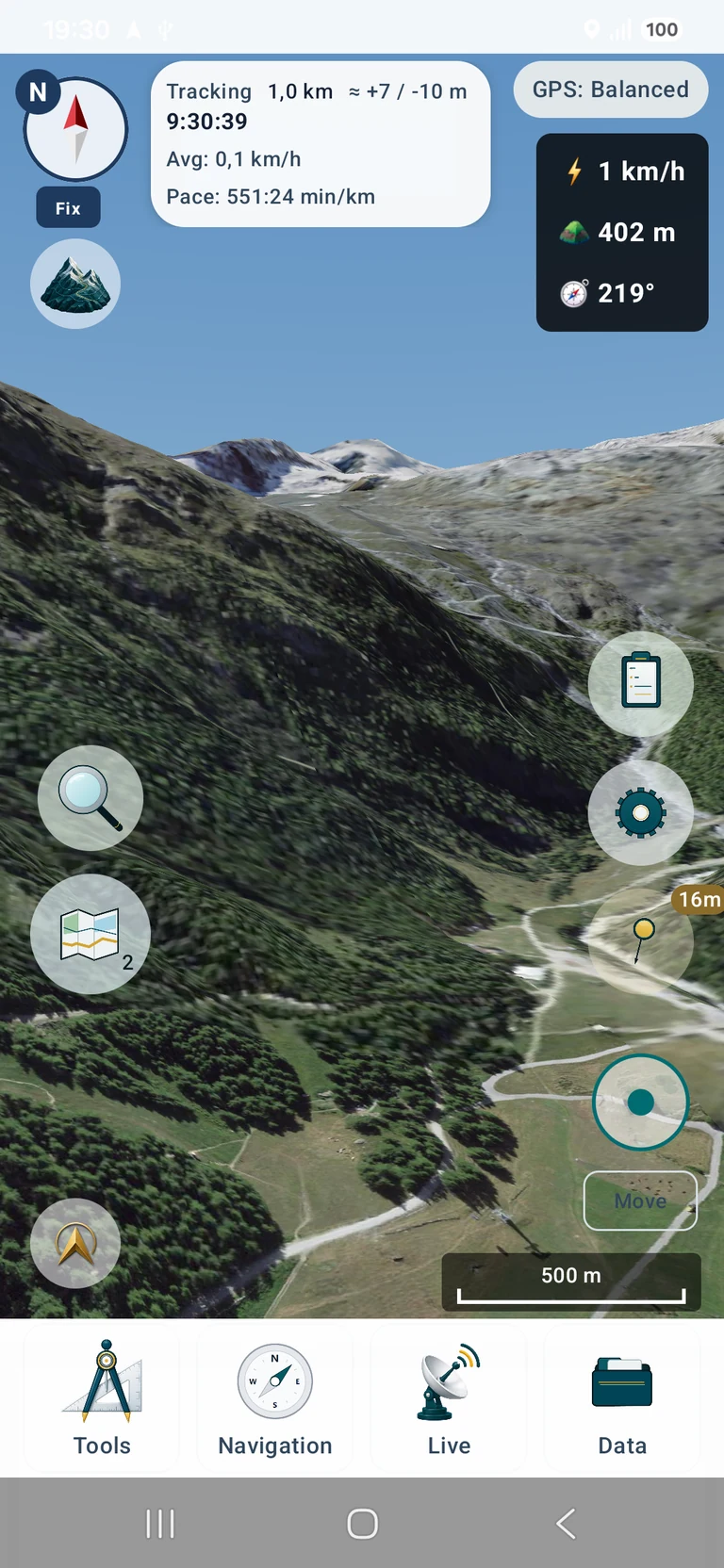
Original app screenshots with an English interface. Tap to open the larger image.
Data shown in the screenshots: SWISSIMAGE © swisstopo · DTM Sonny (CC BY 4.0) · 3D rendering by MapTools