Prowadzone łożysko poprzeczne do pracy na odległość
Aplikacja pomaga w wyborze odpowiednich łożysk, okręgów lub obiektów pomiarowych, oblicza przecięcia i może zapisać wynik jako znacznik.
Ćwicz
Połącz łożyska, okręgi, odległości i znaczniki, aby uzyskać orientację.
Przepływ pracy
Wykonaj poniższe kroki, aby zakończyć pracę na mapie.
Nowe funkcje precyzyjne
Obecne narzędzia obsługują bardziej ukierunkowane procesy pomiaru i korekcji, dzięki czemu istniejące obiekty nie muszą być odtwarzane.
Aplikacja pomaga w wyborze odpowiednich łożysk, okręgów lub obiektów pomiarowych, oblicza przecięcia i może zapisać wynik jako znacznik.
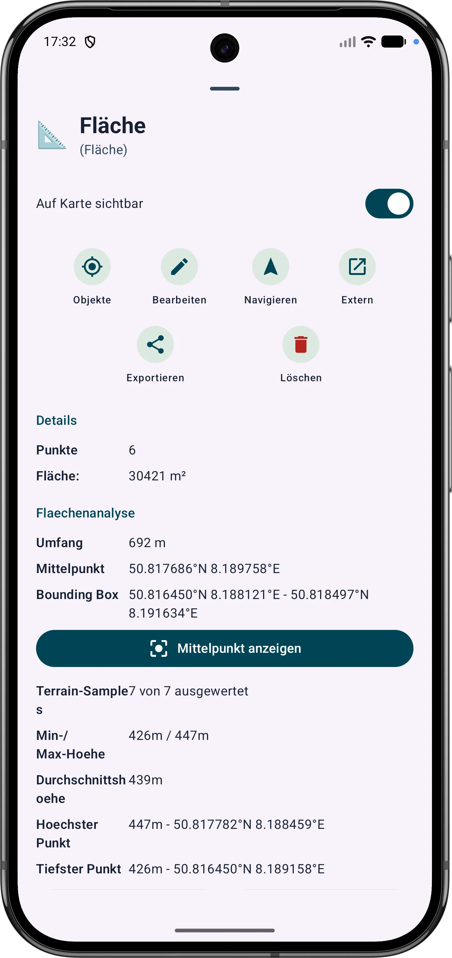
Obszary wielokątów można udoskonalać poprzez ich wierzchołki. Długości boków, kąty wewnętrzne i odległości pomagają korygować granice na polu.
Punkty i segmenty trasy można dostosować później. Namiar, odległości i kąty kierunku pozostają widoczne i zrozumiałe na mapie.