Guidad korsbäring för distansarbete
Appen vägleder valet av lämpliga bäringar, cirklar eller mätobjekt, beräknar skärningspunkter och kan spara resultatet som en markör.
Praktik
Kombinera lager, cirklar, avstånd och markörer för orientering.
Arbetsflöde
Använd dessa steg för att slutföra arbetsflödet på kartan.
Nya precisionsfunktioner
De nuvarande verktygen stöder mer styrda mätnings- och korrigeringsarbetsflöden så att befintliga objekt inte behöver återskapas.
Appen vägleder valet av lämpliga bäringar, cirklar eller mätobjekt, beräknar skärningspunkter och kan spara resultatet som en markör.
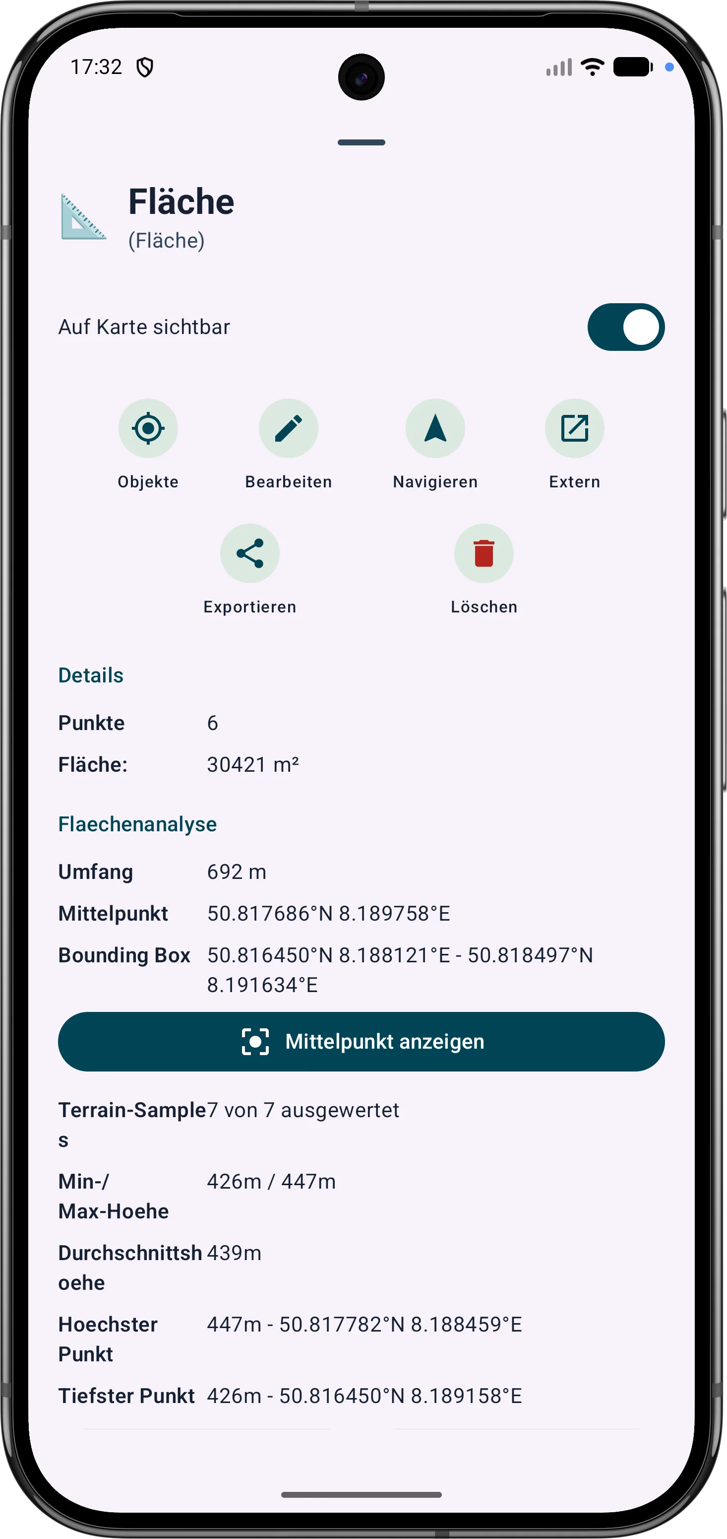
Polygonområden kan förfinas genom sina hörn. Sidolängder, invändiga vinklar och avstånd hjälper till att korrigera gränser i fältet.
Ruttpunkter och segment kan justeras senare. Bäring, avstånd och riktningsvinklar förblir synliga och begripliga på kartan.