Vector layers
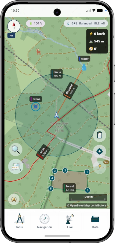
벡터 레이어에는 개별 지오메트리가 포함됩니다. 계획 데이터, 경계, 수색 영역, 경로, 트랙, 가져온 프로젝트 정보에 유용합니다.
특징
하나의 Android 앱에 지도, 오프라인 데이터, 지형, 프로젝트, 내비게이션 및 라이브 도구가 있습니다.
기능 범위
Some features intentionally have limits in the free edition. The Free/Pro table shows the main differences for projects, objects, routes, areas, imports, exports, offline data, Remote ID and AR/LiveView.
Terms
ArxSilex MapTools uses these terms deliberately. They make it clear whether a file is used as a base map, editable geometry, image overlay or elevation data source.
| Term | Short definition | Examples |
|---|---|---|
| Maps | Base maps used as the main working view. | OpenStreetMap, OpenAndroMaps, offline .map, MBTiles as a base map |
| Vector layers | Additional object, line or polygon data above the map. The content consists of points, lines or areas and can often be displayed or evaluated individually. | GPX, KML, GeoJSON, Shapes, KML polygons, GeoJSON areas, GPX tracks as overlays |
| Raster overlays | Georeferenced image or tile data above the map. They are placed as a finished image surface and are not interpreted as individual objects. | GeoTIFF, MBTiles, image maps, aerial imagery, scanned maps, georeferenced plans |
| Elevation data / terrain | 데이터 소스 고도 값과 지형 분석에 사용됩니다. 좁은 의미의 표시 지도는 아니지만 높이 정보를 제공합니다. | HGT, DEM GeoTIFF, ASC, DTED |
| Map style | Rendering rules for vector maps. The style defines colors, symbols, paths, POIs, contour lines and other map elements. | OpenAndroMaps render theme, Elevate Theme |
| POI data | Search and display data for places and points of interest. | OpenAndroMaps .poi, custom POI files |
벡터 레이어에는 개별 지오메트리가 포함됩니다. 계획 데이터, 경계, 수색 영역, 경로, 트랙, 가져온 프로젝트 정보에 유용합니다.
래스터 오버레이는 지도 위에 놓이는 완성된 이미지 표면입니다. 항공사진, 역사 지도, 스캔 이미지, 특수 지도 보기에 유용합니다. 아래 기본 지도가 보이도록 불투명도를 조정하는 경우가 많습니다.
지도, 벡터 레이어, 래스터 오버레이는 지도에 표시할 수 있습니다. 고도 데이터는 보통 지점 고도, 고도 프로필, 음영기복, 등고선, 가시범위 도구에서 사용됩니다.
개요
지도 작업, 지리 데이터, 방향 및 현장 문서화를 위한 핵심 도구를 사용하세요.
세부
각 도구가 어떤 용도로 유용하고 어떤 데이터 또는 장치 기능이 필요할 수 있는지 확인하세요.
| 특징 | 목적 | 문맥 |
|---|---|---|
| 관측 범위 | 사용 가능한 고도 데이터를 사용하여 점에서 가시 영역을 계산합니다. | 적절한 지형 데이터가 필요합니다. 출력은 해상도와 적용 범위에 따라 달라집니다. |
| 음영기복도 및 등고선 | 지형 모양을 더 읽기 쉽게 만들고 고도 프로필과 포인트 높이를 보완합니다. | HGT, DEM GeoTIFF, ASC 또는 DTED를 사용하세요. |
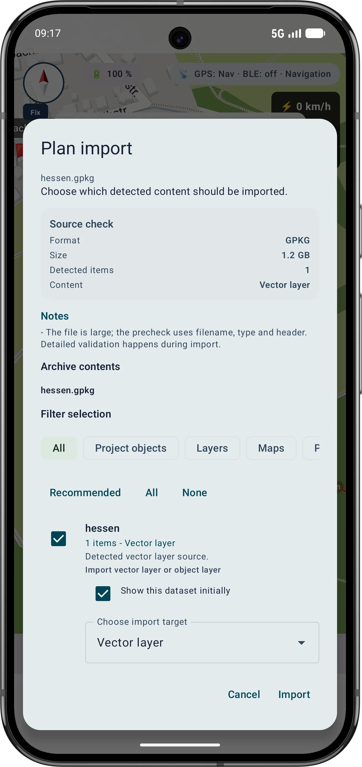
| 스마트 가져오기 | 프로젝트, 지도, 지형, 래스터 오버레이, 레이어, POI, 경로 또는 트랙 등 적절한 대상에 파일을 할당합니다. | ZIP 또는 GeoPackage와 같은 컨테이너의 경우 콘텐츠가 중요합니다. |
| 포인트 세부정보 | 지도 지점은 도로, POI, 지형, 좌표 및 가져온 레이어에 대한 컨텍스트를 제공할 수 있습니다. | 세부 수준은 지도, 태그 및 가져온 데이터에 따라 다릅니다. |
| Remote ID | 공개적으로 방송된 Remote ID 신호를 수신하고 기록을 내보낼 수 있습니다. | 수신은 지역, 기기, 무선 환경 및 권한에 따라 다릅니다. |
| BLE 그룹 | 앱 소유 서버 없이 근처의 로컬 그룹 위치 및 상태입니다. | 일치하는 Bluetooth/Nearby 권한이 필요합니다. |
| 백업 및 복원 | 선택한 앱 콘텐츠를 .asmaps.bak 파일로 저장하고 의도적으로 복원합니다. | 백업에는 프로젝트, 설정, 프로필, POI, 그룹 및 로컬 데이터가 포함될 수 있습니다. 선택적 암호화를 사용할 수 있습니다. |
| AR/라이브뷰 | 카메라 보기에 표적, 방위, POI, 최고점, 트랙 또는 검색 그리드를 표시합니다. | 센서 품질과 장치 호환성이 결정적입니다. |
지오패키지
GeoPackage는 지도, 타일 컨테이너, 피처 레이어용으로 계속 사용됩니다. 지형 기능에는 HGT, DEM GeoTIFF, ASC 또는 DTED를 사용합니다.
??
The current tools support more guided measurement and correction workflows so existing objects do not need to be recreated.
The app guides the selection of suitable bearings, circles or measurement objects, calculates intersections and can save the result as a marker.
Polygon areas can be refined through their vertices. Side lengths, interior angles and distances help correct boundaries in the field.
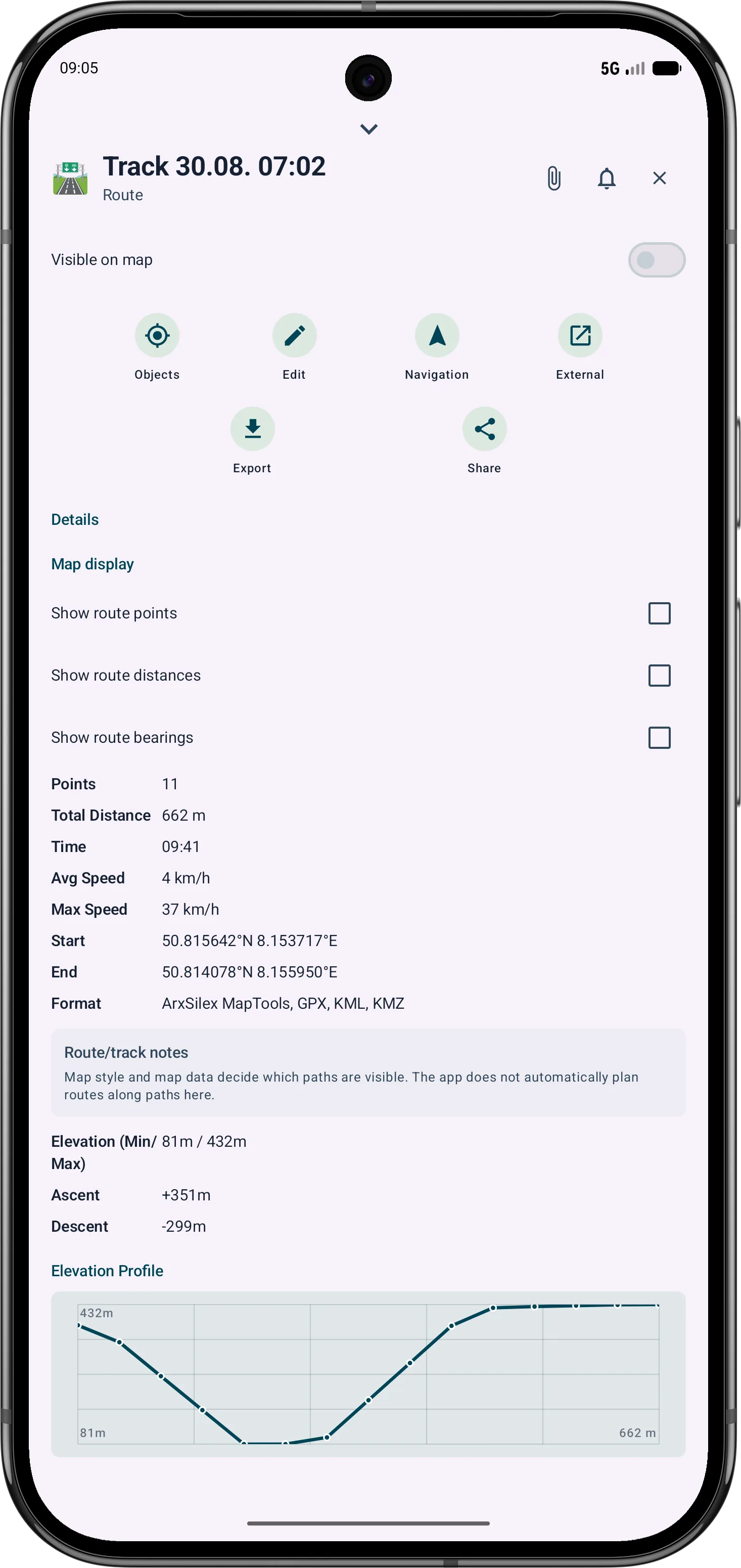
Route points and segments can be adjusted later. Bearing, distances and direction angles remain visible and understandable on the map.


현재 Scope
These capabilities are especially relevant in the current app version and are grouped here.
Bearings, circles and measurement objects can be combined in a guided flow to determine intersections and distances.
Polygon areas can be refined later through their vertices while side lengths, interior angles and distances stay visible.
Route points and segments can be adjusted later with bearing, distances and direction angles.
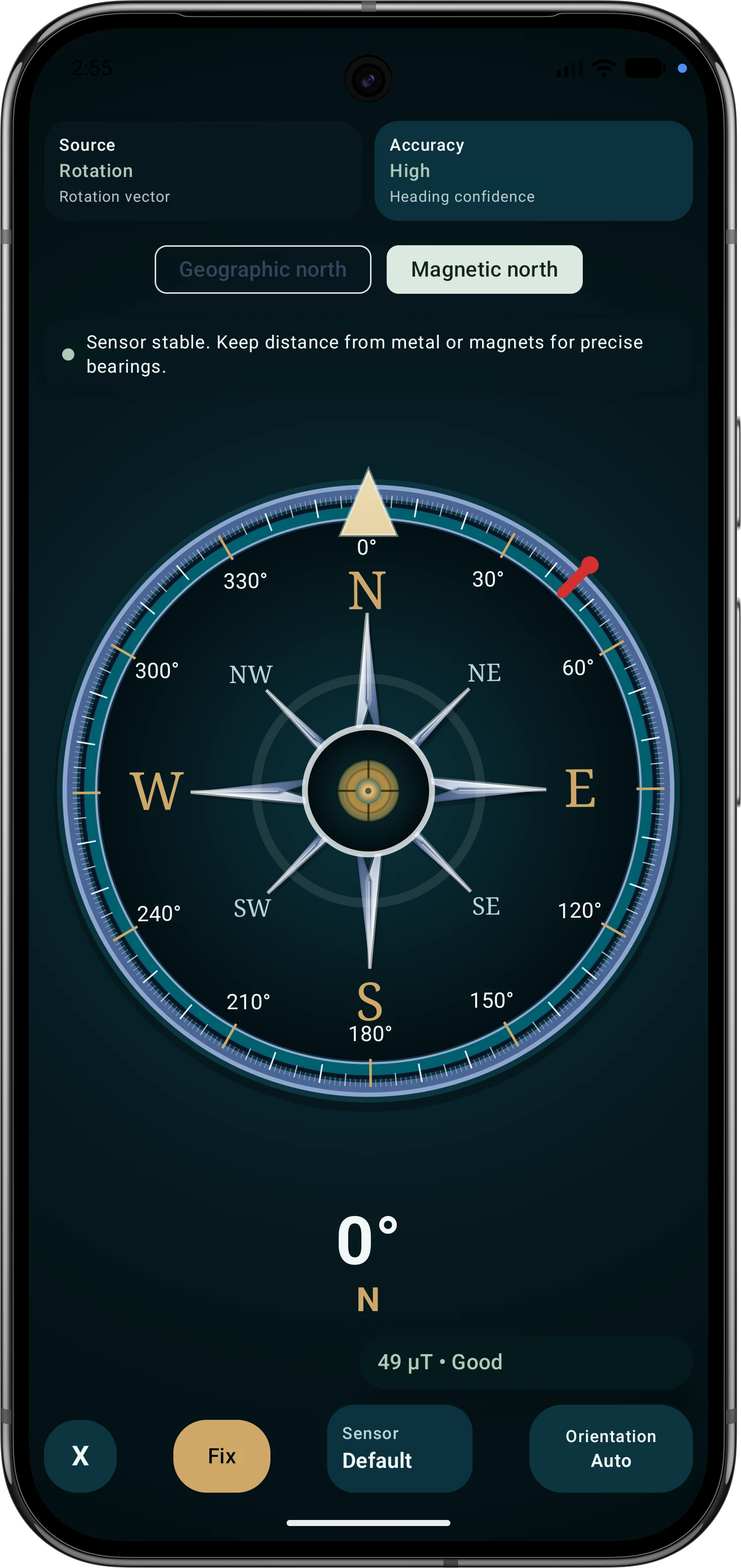
아웃도어 나침반은 내비게이션, 방위, 목표 정렬, 지도 작업을 지원합니다. 센서 소스, 자기장 평가, 보기 모드 및 이동 중 GPS 코스가 투명하게 표시됩니다.
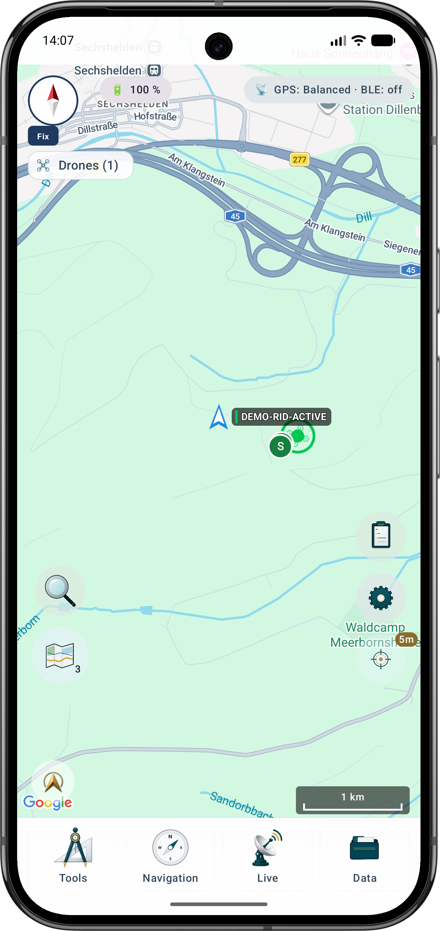
Drone reception shows BLE, Wi-Fi NAN, Wi-Fi Beacon, operator/system data, diagnostics and optional export where device and signal source support it.
하위 메뉴를 자주 사용하는 도구 순서로 정렬해 현장에서 중요한 기능에 더 빠르게 접근할 수 있습니다.